Water als Wapen - Rindern
Water als Wapen - Rindern
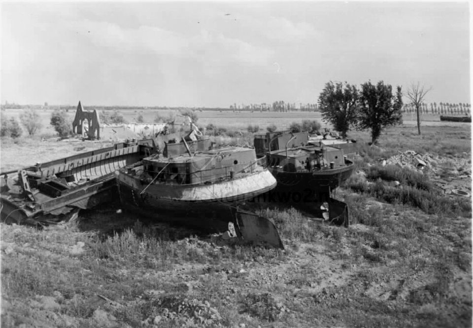
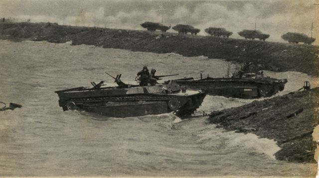
In October 1944 the German troops decide to flood a large part of the Dutch-German border area to avert an attack from the Allies.

Two cycling routes along old tracks
In October 1944 the German troops decide to flood a large part of the Dutch-German border area to avert an attack from the Allies. In December 1944, when the water in the Rhine is at a high, German soldiers use heavy explosives to make a hole in the dyke in Driel. Their actions cause a huge flood which has grave consequences for the people living there, the warring factions and a few barge owners. In early February of 1945, dykes in the vicinity of Kleve in Germany are blown up, but, fortunately, do not stop the Allied advance.
There are two locations with information panels about water being used as a weapon. Go to www.liberationroute.nl for more information and the accompanying audio stories L89: Water as a weapon Rindern and L67 Water as a weapon Elden.
Kleve| Lindern- Doornenburg
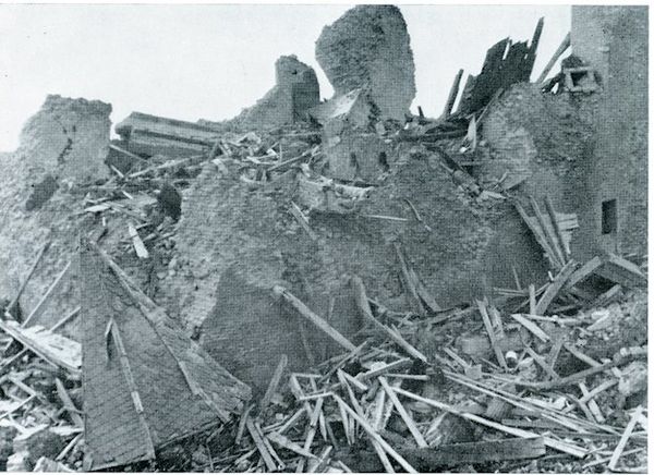
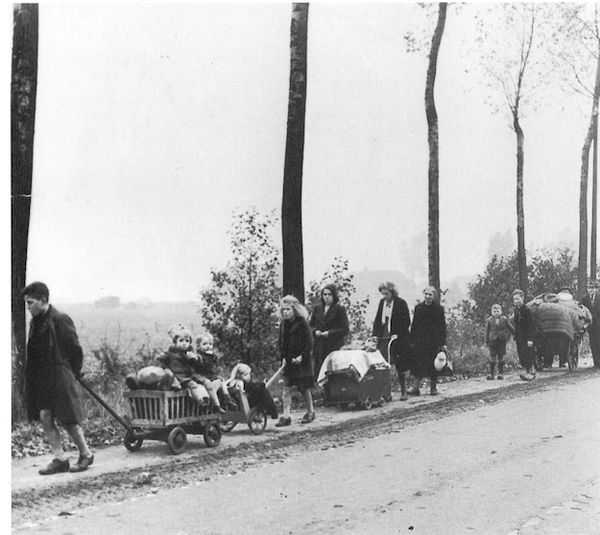
To get to L89: Water as a weapon Rindern, cycle from Kleve to Rindern (between junctions 05 and 26). As part of the plan to ward off an Allied attack the dykes near Kleve are blown up in February 1945. Where at other places along the Dutch-German border it worked, the flooding here could not stop the Allied advance. Cycling through the beautiful polder landscape, you cross the border just before junction 94. Via the Millingerwaard, you arrive at a ferry crossing the river Waal. Take the ferry and follow the road to castle Doornenburg, a junction between the two routes and location of listening spot L43: Destruction and Sorrow. When the Betuwe became the frontline, German commander Harmel established the medieval castle as his headquarters. German destruction and allied bombardments leave almost no building undamaged, and there are many civilian casualties. From the castle cycle to the Pannerdensch Canal where you take a ferry for a second time. After a short introduction to De Liemers, you cross the water by ferry—this time crossing the Rhine—for the third time. On the other side, you arrive at L33: Exodus, where you can listen to the story of the people from Millingen who are taken by surprise when in October 1944 the Germans order them to evacuate. Next, you cycle along the winding dykes to the Thornsche Mill (junction 66). Click on the information panel for the story of the battle and the consequences thereof during and after the Second World War.
After a short break, you can push on and cross the border back into the Netherlands and enjoy the beautiful green surroundings along the way.

- Distance
- 50.6 km
Locations on this route
Audiospot: Distress and destruction
After the failure of the Battle of Arnhem, the Over-Betuwe region becomes the frontline. German commander Harmel turns Doornenburg´s medieval castle into his headquarters and attacks from allied bombers and German troops leave little of the town intact.Read more
Audiospot: Exodus
The population of Millingen did not think for one moment that they too might have to evacuate their homes.Read more
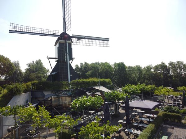
Restaurant de Thornsche Molen
In the middle of the beautiful Ooijpolder, close to Persingen which is the smallest village in the Netherlands, there's a new restaurant. It is charmingly situated under a windmill which was destroyed during World War II and rebuilt in 2015.Read more
- 26
- 05
- 94
- 72
- 71
- 79
- 78
- 77
- 88
- 89
- 94
- 81
- 93
- 65
- 66
- 67
- 69
- 70
- 70
- 26